Mobilize Qualified
Resources
Automate fill rosters and
mobilize in minutes
Improve Situational Awareness
Staff crews in real-time by
availability and proximity
Fill Callout Shifts
in Seconds
Automatically account for
union rules and other criteria

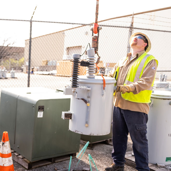
Incident Manager
For office employees designated to play a role in emergency situations, Incident Manager empowers utilities to quickly assign teams and activate plans to respond faster.
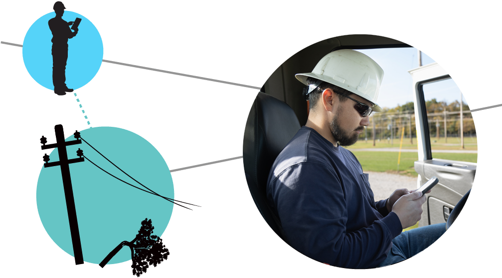
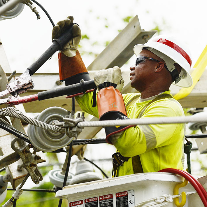
Mobile App
Instantly connect crews on-the-go via tablet or smartphone with our mobile app, and shave time off their response.
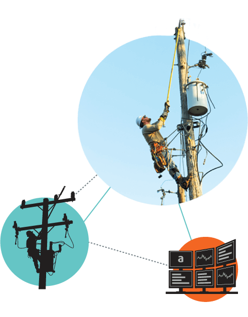
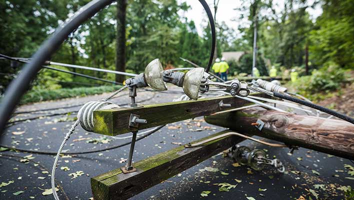
Closest to Trouble (CTT)
Save time during critical events by locating the closest available employee to the incident location.
Siren® Mass Calling
Send customized emergency messages to customers, civil authorities, emergency responders, and media about power outages, gas leaks, power plant emergencies, and more.
Vacation Management
Automate the process of ensuring holiday and vacation coverage. Enforce minimum coverage rules, and report on coverage areas of concern by department or area.

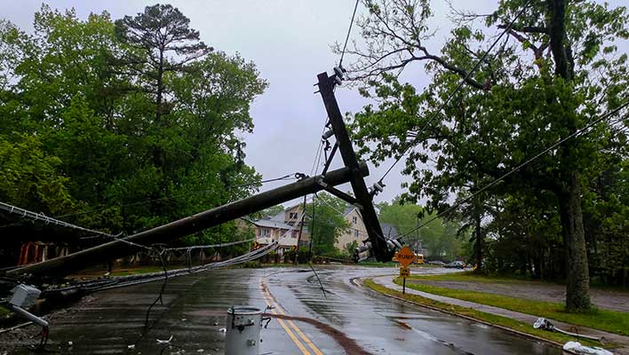
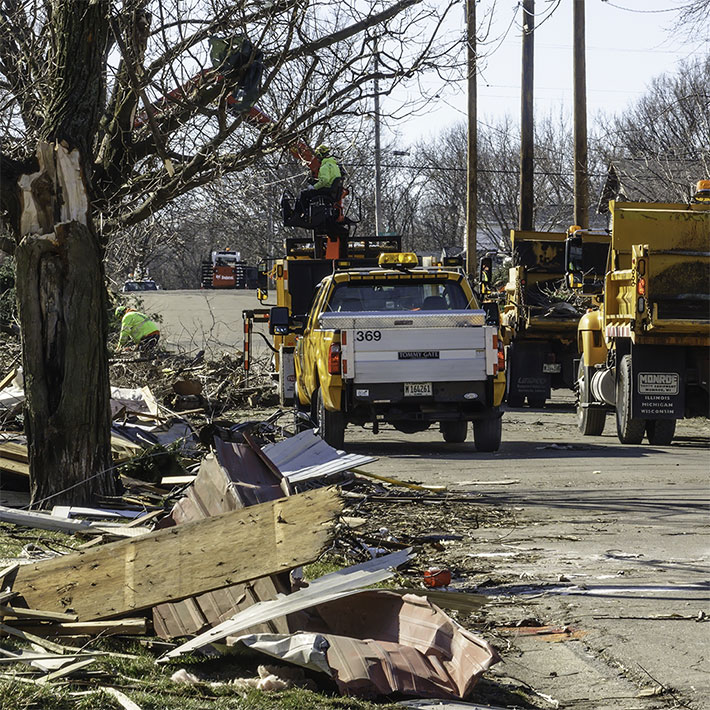
Keys to Utility Workforce Agility: Orchestrating Large Scale Incident Response